Lawson Site
From Hobby to Archaeology - The Late 19th and Early 20th Centuries

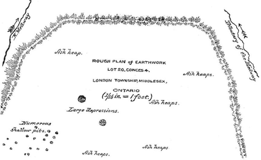
David Boyle's 1896 Map - Annual Archaeological Report, Ontario 1894-95
The Lawson Site in the 19th-Century
Although the archaeological locale that has come to be referred to as the Lawson Site has arguably been known to residents of the area for centuries, the first professional archaeologists started investigating the site in the late-19th century. Dr Solon Woolverton, a local dentist, professor of geology, member of the London and Middlesex Historical Society, and avid curio collector was the first to notify archaeologists of the site's existence. The site, then known as the Shaw-Wood Site or the Old Indian Fort, had “long been known to relic-hunters" according to David Boyle, one of Ontario's first professional archaeologists. When he first visited the site in 1894, he found it had regularly been visited by picnics and pot-hunters. The London Middlesex Historical Society had their first annual picnic at the site.
- Adapted from research by Matthew Beaudoin (State of the Lawson Site 2015)
The Lawson Site at the beginning of the 20th-Century
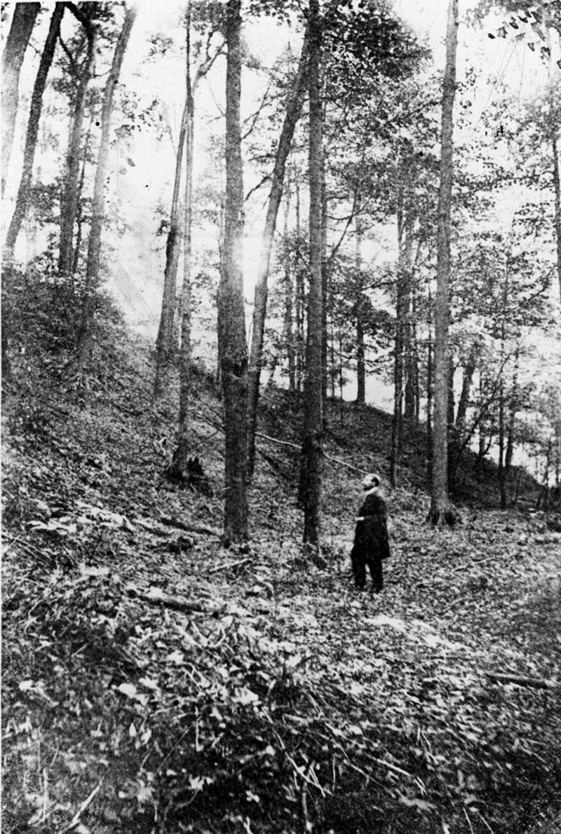
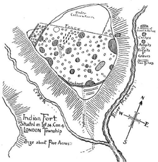
It took twenty-five years before another archaeologist investigated the Lawson Site. Roland Orr had replaced Boyle as curator of the Ontario Provincial Museum (now the Royal Ontario Museum) after Boyle's death in 1911. In 1917, Orr spent less than a week surveying the site, sufficient time, he felt, to come to the conclusion that it was the most historical and interesting village site in Ontario. He published his report in 1917 in the Annual Archaeological Report, Ontario.
- Research by Matthew Beaudoin (State of the Lawson Site 2015)

Roland Orr Visits the Lawson Site

